
- Course
Designing with Photogrammetry Data in Civil 3D and InfraWorks 360
A growing number of civil design projects incorporate drone and UAS collected photogrammetry data. This course will teach you the basics of processing raw photogrammetry data, how to generate point clouds, advanced strategies for importing, and more.
Intermediate
Get started today
Access this course and other top-rated tech content with one of our business plans.
Try this course for free
Access this course and other top-rated tech content with one of our individual plans.
This course is included in the libraries shown below:
- Core Tech
What you'll learn
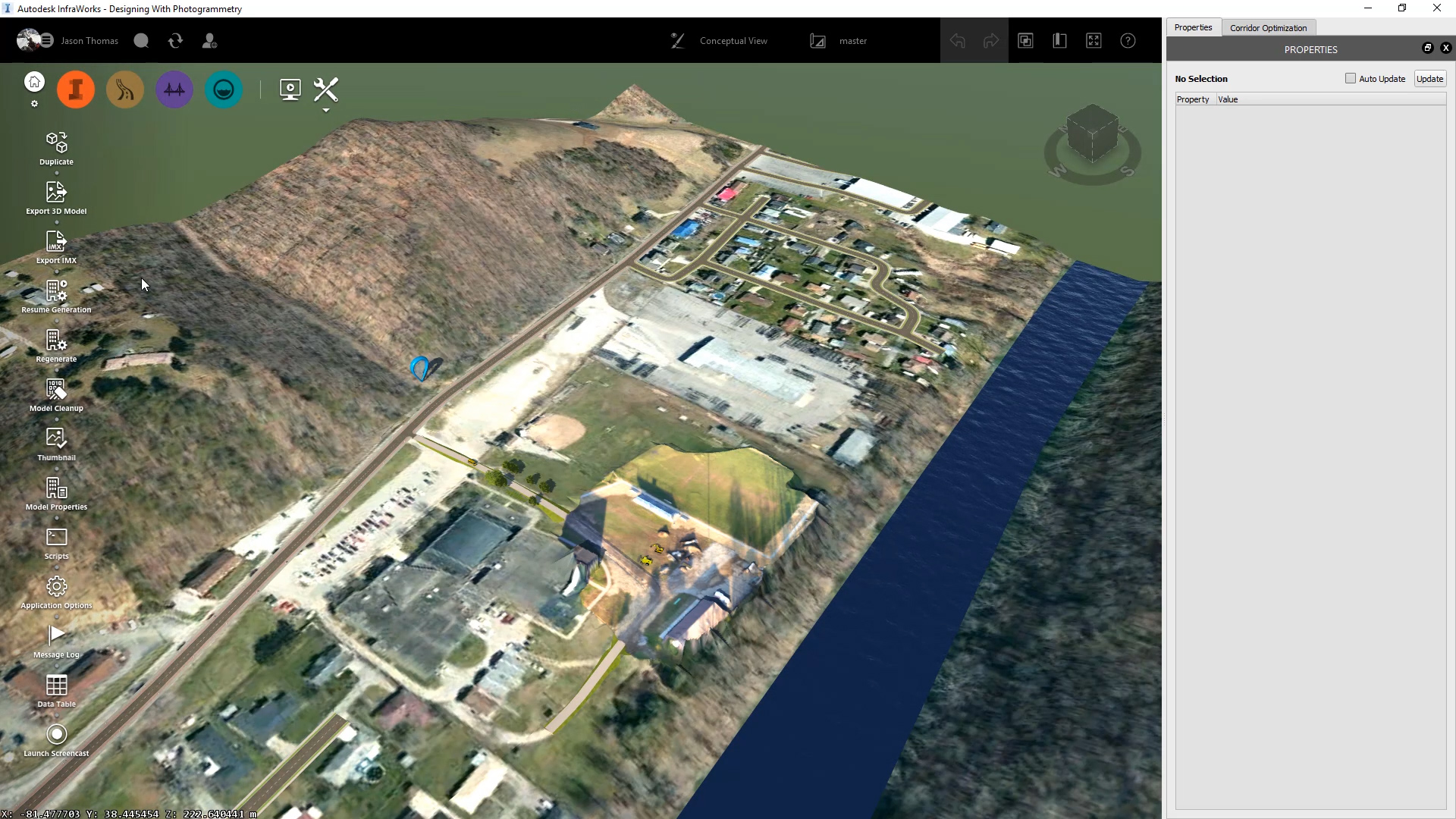
Have you ever wondered how photogrammetry data collected by drones could benefit your civil design projects? If so, Designing With Photogrammetry Data in Civil 3D and Infraworks is the perfect course for you because you will learn the basics of processing your first photogrammetry dataset, as well as setting up and conducting preliminary design of your project. First, you will learn how to import images and process a point cloud and mesh in Autodesk ReCap. Next, you discover how to import the photogrammetry data into Autodesk Civil 3D and InfraWorks to begin preliminary design. Finally, you will explore how to import the model of your site into the Autodesk FBX viewer to visualize the site. When you have completed this course, you will not only be able to process drone and UAS collected photogrammetry data, but also have an in-depth understanding of the entire workflow required to work with photogrammetry data on your upcoming design project. Software required: AutoCAD Civil 3D and InfraWorks 360.
Designing with Photogrammetry Data in Civil 3D and InfraWorks 360
Intermediate
Table of contents
-
Introduction | 4m 5s
-
Overview of Software, Project Folder, and Files | 1m 37s
-
Autodesk ReCAP Web-based Photogrammetry Processing | 5m 47s
-
View Point Cloud in Web Viewer and Copy Processed Files | 2m 7s
-
Autodesk ReCAP Desktop Processing and Test Geolocation in Civil 3D | 3m 27s
-
Autodesk ReCAP Desktop Processing and Cropping the Point Cloud | 2m 7s
-
What Have We Learned and Tips | 56s
Jason Thomas has provided drafting and technical support for large scale infrastructure and ecological design projects for two decades. Although he specializes in stream and habitat restoration, Jason has worked on diverse projects across the country utilizing Autodesk Civil 3D, Infrastructure Design Suite, and Infraworks 360.
